An international team of scientists has shed new light on the earthquake that devastated Nepal in April 2015, killing more than 8,000 people.
In a study published in the journal Nature Geoscience, the scientists show that a kink in the regional fault line below Nepal explains why the highest mountains in the Himalayas are seen to grow between earthquakes.
Study co-author Dr Pablo González, from the School of Earth and Environment at the University of Leeds, said: “We successfully mapped the earthquake motion using satellite technology on a very difficult mountainous terrain.
"We developed newly processing algorithms to obtain clearer displacement maps, which revealed the most likely fault geometry at depth to make sense of the puzzling geological observations.”
The researchers, from the UK’s Centre for the Observation and Modelling of Earthquakes, Volcanoes and Tectonics (COMET), as well as academics from the USA and France, also demonstrate that the rupture on the fault stopped 11km below Kathmandu.
This indicates that another major earthquake could take place within a shorter timeframe than the centuries that might be expected for the area.
Lead author Dr John Elliott of Oxford University, a member of the COMET team, said: “We have shown that the fault beneath Nepal has a kink in it, creating a ramp 20km underground.
"Material is continually being pushed up this ramp, which explains why the mountains were seen to be growing in the decades before the earthquake.
"The earthquake itself then reversed this, dropping the mountains back down again when the pressure was released as the crust suddenly snapped in April 2015.
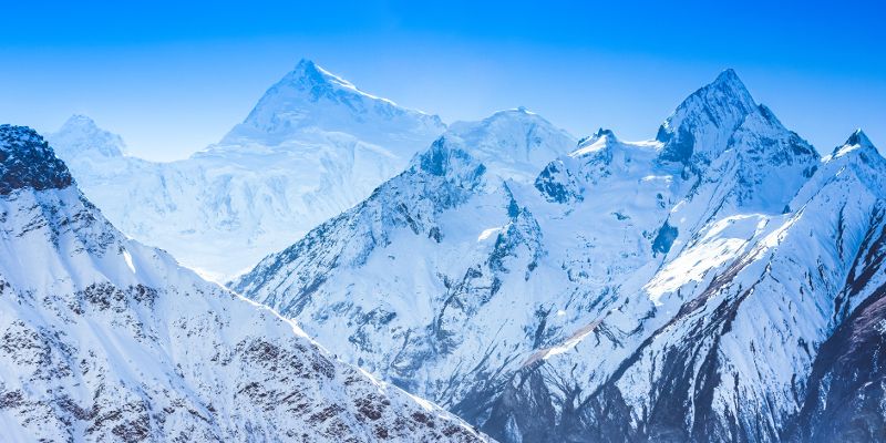
“Using the latest satellite technology, we have been able to precisely measure the land height changes across the entire eastern half of Nepal. The highest peaks dropped by up to 60cm in the first seconds of the earthquake.”
Mount Everest, at more than 50km east of the earthquake zone, was too far away to be affected by the subsidence in this event.
Another key finding of the study shows that the rupture in the fault stopped 11km below Kathmandu, leaving an upper portion that remains unbroken and will build up more pressure over time as India continues to collide with Nepal.
Dr Elliott said: “As this part of the fault is nearer the surface, the future rupture of this upper portion has the potential for a much greater impact on Kathmandu if it were to break in one go in a similar sized event to that of April 2015.
“Work on other earthquakes has suggested that when a rupture stops like this, it can be years or decades before it resumes, rather than the centuries that might usually be expected.”
Further information
Dr Pablo González is available for interview. Please contact Sarah Reed, press officer at the University of Leeds, at s.j.reed@leeds.ac.uk or on 0113 3434196.
The research paper, "Himalayan megathrust geometry and relation to topography revealed by the Gorkha earthquake", is published online in Nature Geoscience on 11 January 2016.
The Centre for the Observation and Modelling of Earthquakes, Volcanoes and Tectonics (COMET) is funded by the Natural Environment Research Council (NERC). The COMET Directorate is based at the University of Leeds.