New measurements of how boundary between onshore glacier and floating ice shelf glides back-and- forth could help predict melting.
Most Antarctic glaciers flow straight into the ocean where they form large floating ice shelves. The grounding line is the place where the base of the ice firsts lifts off the sea floor and begins to float. A new analysis shows that the grounding line of the southern Ronne Ice Shelf in Antarctica can shift up to 15 km (6 miles) with changing tides.
The research, published today in The Cryosphere, examines the key region where land-based Antarctic ice spills over into the surrounding ocean. Observing and understanding the dynamics of this region can help scientists predict Antarctica’s response to climate change, and so how much global sea levels will rise.
Bryony Freer is the lead author and a glaciologist at the British Antarctic Survey and the Centre for Satellite Data in Environmental Science at the University of Leeds. She is currently on a research stay at Scripps Institute of Oceanography in the United States.
She says: “We typically think of ice sheet change as being very slow, taking place over decades, centuries or even millennia. But our findings highlight that there are some processes operating over minutes to hours that may have significant impacts.”
The location of Antarctica’s grounding line helps indicate ice stability. During a rising tide, extra buoyancy lifts more of the ice shelf off the seabed and the grounding line temporarily moves inland. It returns to its seaward position at low tide.
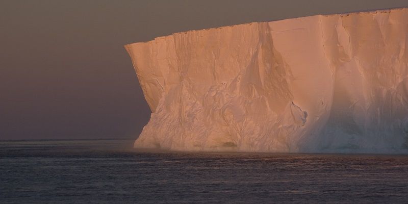
Caption:N9 Ice Shelf where the Ernest Shackelton often unloads supplies for the Halley Station. Credit: Bob Pratt, BAS
Earlier measurements of such grounding line movement were restricted to small regions and short timescales. In the new study, the researchers monitored a large chunk of the Ronne Ice Shelf for nearly five years.
Using lasers bounced off the ice from the orbiting satellite ICESat-2, the team could measure to within a few centimetres the height of the ice surface and how it rose and sank with daily tides. They used this information to calculate the changing position of the grounding line.
The 15 km shift in the grounding line position between high and low tide described in the new paper is the one of the largest observed anywhere in Antarctica. It shows the grounding line can move at more than 30 km per hour, flushing ocean water several kilometres further inland under the ice sheet.
This exposure to sea water could help the ice melt more quickly from below. In less stable Antarctic regions, such as the Thwaites Glacier, this process is known to have driven long-term historic grounding line retreat.
It’s vital that we improve both our observations and modelling of these tidal processes, to better understand how they operate and work out the likely implications for long-term ice sheet change,
Grounding line movement depends on the tidal range, the shape of the seafloor and the strength of the ice. The new study found the grounding line in some regions moved inland much faster during a rising tide than it later returned as the tide dropped -- a particularly exciting finding according to the researchers.
They suggest that water may become trapped under the ice as the grounding line retreats and so takes longer to be flushed out, perhaps varying the rate at which the ice sheet melts from below.
“It’s vital that we improve both our observations and modelling of these tidal processes, to better understand how they operate and work out the likely implications for long-term ice sheet change,” Freer says.
The researchers recommend that any future satellite-derived measurements of grounding line position should be timestamped to the nearest hour, along with tide height and phase. They also want to repeat the analysis across more of Antarctica.
Helen Amanda Fricker, ICESat-2 Science Team Leader and Professor at the Scripps Institution of Oceanography in California, and paper co-author says:
“This work showcases how the unprecedented sampling in both space and time of ICESat-2 can reveal new information about dynamic features on ice shelves. It is critical that we continue these measurements with future missions.”
Further information:
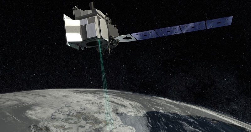
Top image: Image of NASA's ICESat-2 satellite (Ice, Cloud, and land Elevation Satellite-2) Copyright: NASA Goddard Flight Center
Modes of Antarctic tidal grounding line migration revealed by Ice, Cloud, and land Elevation Satellite-2 (ICESat-2) laser altimetry by Freer, B.I.D., et al is published in The Cryosphere
For additional information, contact the University of Leeds press office via pressoffice@leeds.ac.uk